Cook Islands EEZ mapped in scientific deep ocean voyage

Scientific voyage explores Cook Islands EEZ
A recent scientific expedition has undertaken the ambitious task of mapping deep ocean changes across the Cook Islands Exclusive Economic Zone (EEZ). This mission aims to provide a clearer understanding of the region's marine ecosystems, which are vital to both local biodiversity and global climate systems.
Objectives of the expedition
The primary goal of the voyage is to document shifts in ocean conditions, including temperature, salinity, and biodiversity. These metrics are crucial for assessing the health of marine environments and predicting future changes.
Technologies used
Advanced sonar systems and remotely operated vehicles (ROVs) were deployed to capture high-resolution data from the ocean floor. These tools allow scientists to study areas previously inaccessible due to depth and remoteness.
Significance of the Cook Islands EEZ
The Cook Islands EEZ spans over 1.8 million square kilometers, making it one of the largest in the Pacific. This vast area is home to unique marine species and plays a critical role in global ocean currents.
Biodiversity hotspots
The region is known for its rich biodiversity, including coral reefs and deep-sea trenches. These ecosystems are sensitive to environmental changes, making them key indicators of ocean health.
Climate impact
Changes in the Cook Islands EEZ can have far-reaching effects on global climate patterns. The data collected will help scientists model future climate scenarios with greater accuracy.
Challenges of deep ocean research
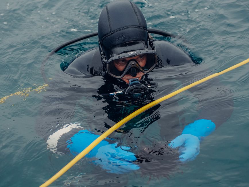
Conducting research in the deep ocean presents numerous challenges, from technical limitations to harsh environmental conditions. Despite these obstacles, the expedition has yielded valuable data.
Technical hurdles
Deep-sea exploration requires specialized equipment capable of withstanding extreme pressures and temperatures. The expedition relied on cutting-edge technology to overcome these barriers.
Environmental factors
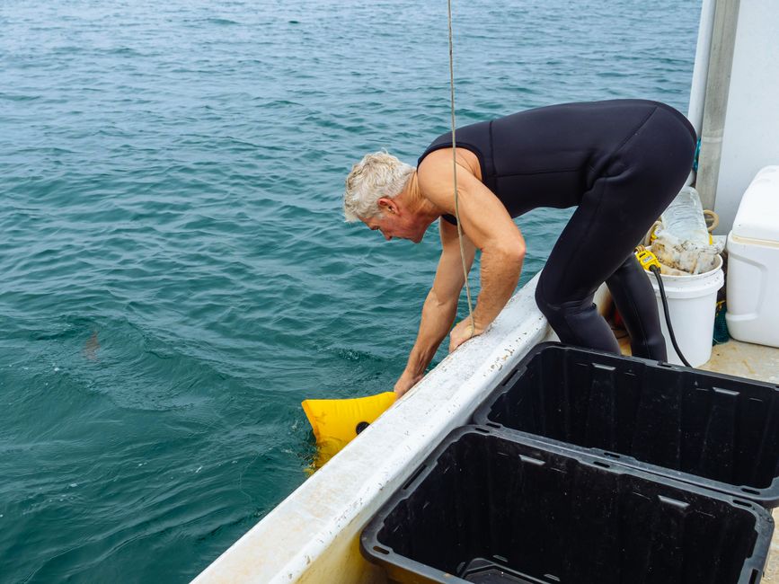
Unpredictable weather and strong currents can disrupt research efforts. The team had to adapt their methods to ensure data collection remained consistent.
Implications for conservation
The findings from this voyage will inform conservation strategies aimed at protecting the Cook Islands EEZ. Policymakers and scientists alike are eager to use this data to safeguard marine ecosystems.
Policy recommendations
The expedition's results could lead to new regulations designed to mitigate human impact on the ocean. These measures may include stricter fishing quotas and protected marine areas.
Community involvement
Local communities in the Cook Islands have a vested interest in preserving their marine resources. The expedition's findings will be shared with these groups to promote sustainable practices.
What the Cook Islands EEZ mapping reveals
The scientific voyage has provided unprecedented insights into the deep ocean changes across the Cook Islands EEZ. This data is essential for understanding and protecting one of the world's most vital marine regions.
Frequently asked questions
What is the Cook Islands EEZ?
The Cook Islands Exclusive Economic Zone (EEZ) is a maritime area spanning over 1.8 million square kilometers, rich in biodiversity and critical to global ocean currents.
Why is deep ocean research important?
Deep ocean research helps scientists understand marine ecosystems, climate patterns, and the impacts of human activity on these fragile environments.
What technologies are used in deep-sea exploration?
Advanced sonar systems and remotely operated vehicles (ROVs) are commonly used to study the deep ocean, providing high-resolution data from inaccessible areas.
How will the Cook Islands EEZ data be used?
The data will inform conservation strategies, policy recommendations, and community initiatives aimed at protecting marine ecosystems and promoting sustainability.